Camp Wambelong
The coordinates that you can use in navigation applications to get to find Camp Wambelong quickly are -31.2794681 ,148.9776955
Contact and Address
| Address: | 4001 John Renshaw Pkwy, Warrumbungle NSW 2828, Australia |
|---|---|
| Postal code: | 2828 |
| Phone: | (02) 6825 4364 |
| Website: | http://www.nationalparks.nsw.gov.au/camping-and-accommodation/campgrounds/camp-wambelong |
Opening Hours:
| Monday: | Open 24 hours |
|---|---|
| Tuesday: | Open 24 hours |
| Wednesday: | Open 24 hours |
| Thursday: | Open 24 hours |
| Friday: | Open 24 hours |
| Saturday: | Open 24 hours |
| Sunday: | Open 24 hours |
Location & routing
Reviews
There are no reviews yet!
You can review this Business and help others by leaving a comment. If you want to share your thoughts about Camp Wambelong, use the form below and your opinion, advice or comment will appear in this space.
Photos of Camp Wambelong
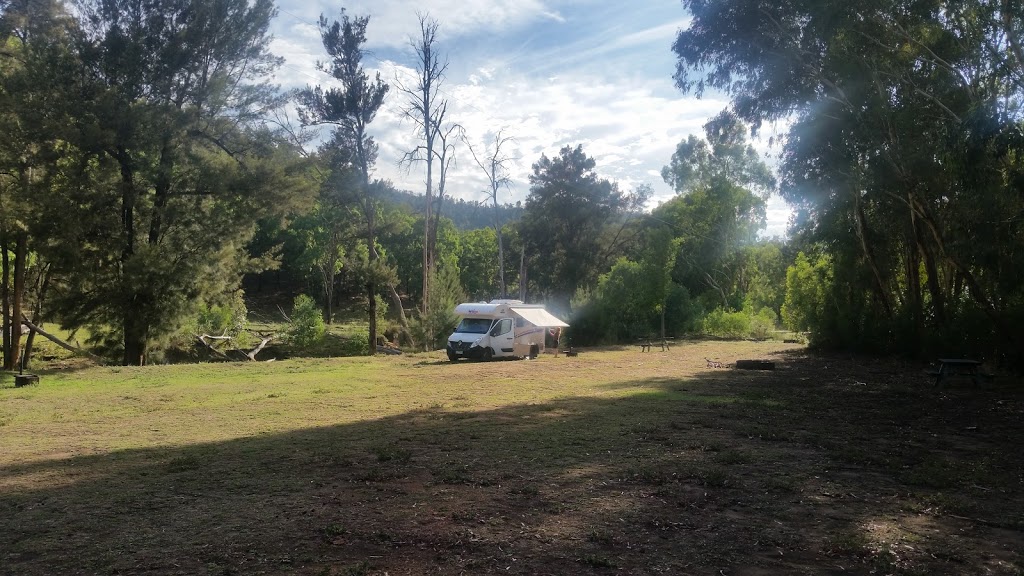
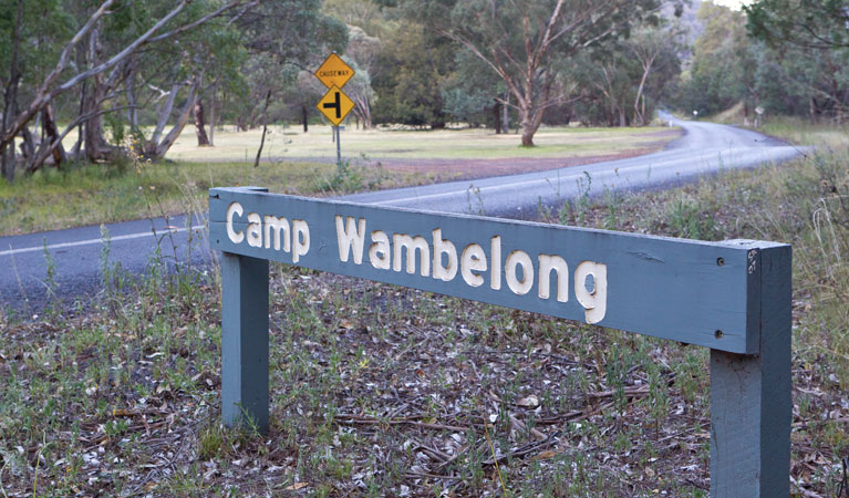
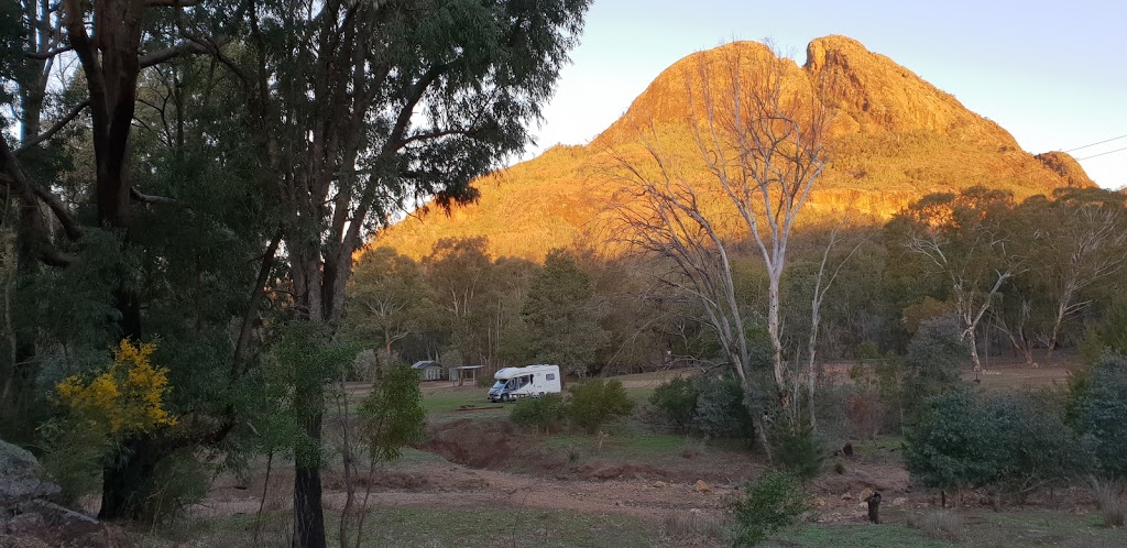
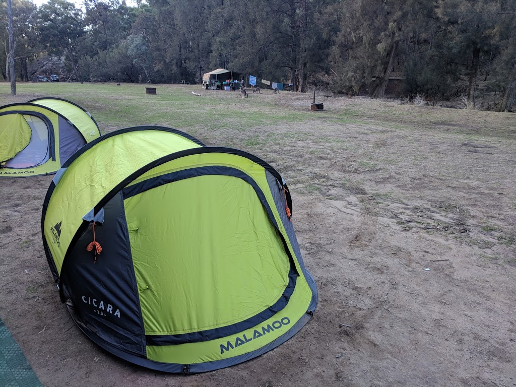
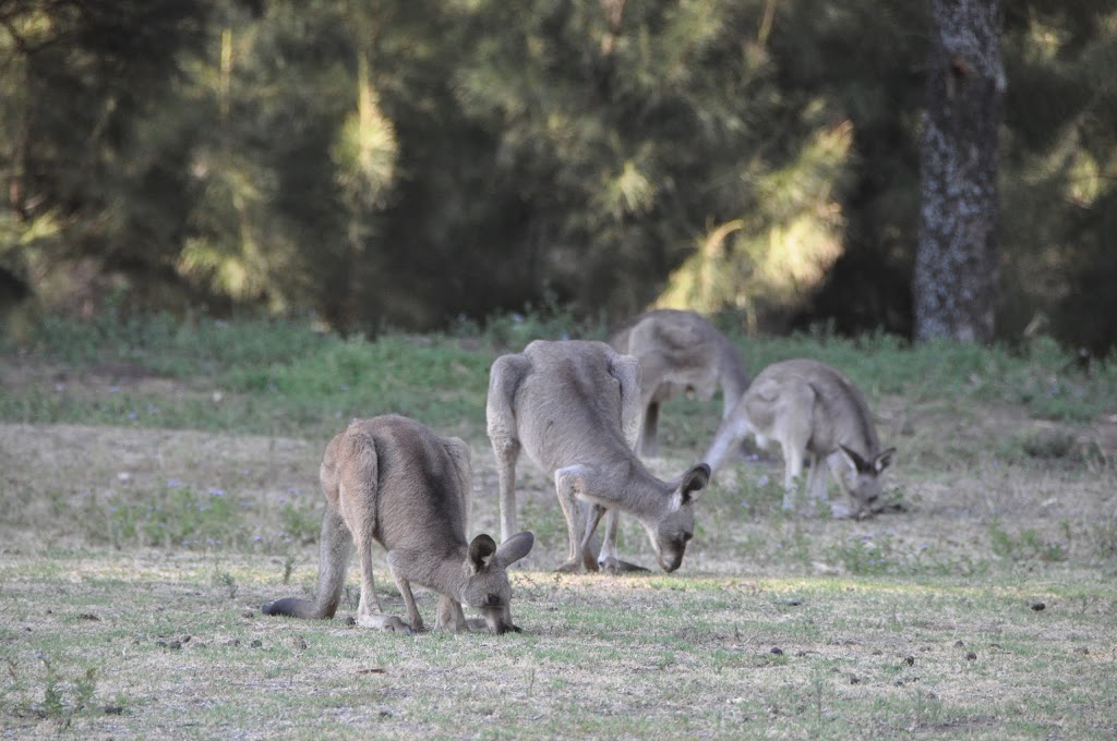
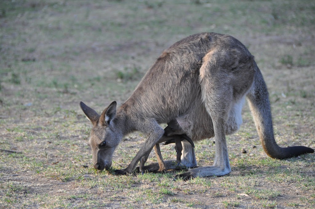
Camp Wambelong On the Web
Camp Wambelong | NSW National Parks
Camp Wambelong is a peaceful campground offering spectacular views of Belougery Split Rock and an access Closed Christmas Day. 02 6825 4364. warrumbungle.np@environment.nsw.gov.au. Warrumbungle NP Visitor Information Centre 02 6825 4364 Contact hours: 9am to 4pm daily.
Camp Wambelong | Visitor info | NSW National Parks
Camp Wambelong campground is in the Camp Wambelong precinct of Warrumbungle National Park. To get there: After entering the park from Coonabarabran, continue along John Renshaw Parkway past the visitor centre for approximately 2km, then turn right into Camp Wambelong.
Camp Wambelong | Local alerts | NSW National Parks
Camp Wambelong is a peaceful campground offering spectacular views of Belougery Split Rock and an access point to many great walking tracks. Camp Wambelong. Warrumbungle National Park. Warrumbungle NP Visitor Information Centre 02 6825 4364 Contact hours: 9am to 4pm daily.
Camp Wambelong Map - Warrumbungle National Park... - Mapcarta
Camp Wambelong. Rated 4.5 of 5 John Renshaw Parkway, Tonderburine ☎ +61 2 6825 4364. nationalparks.nsw.gov.au. Camp Wambelong. Location: Warrumbungle National Park, Central West, New South Wales, Australia, Oceania. Latitude: 31° 16' 46.1" (31.2795°) south.
Camp Pincham Map - Warrumbungle National Park, New... - Mapcarta
Camp Pincham with an interactive map and directions. Camp Pincham from Mapcarta, the free map. Camp Pincham. Grand High Tops Track, Tonderburine ☎ +61 2 6825 4364. nationalparks.nsw.gov.au. Camp Wambelong.
Camp Wambelong at Australia: the campsite's address, phone...
The campsite Camp Wambelong at Australia. Australia, GPS: -31.2796,148.9768. You can download MAPS.ME for your Android or iOS mobile device and get directions to the camping Camp Wambelong or to the places that are closest to you
Camp Wambelong map, New South Wales
Google satellite map of Camp Wambelong. Camp Wambelong, Coonamble Shire Council, New South Wales, Australia. Coordinates for GPS. latitude -31.2792285 longitude 148.9771505.
Warrumbungle National Park | Coonabarabran... - Lonely Planet
02-6825 4364. Visit website. Hours24hr. There are excellent campsites nearby at Camp Blackman (adult/child $6/3.50 per night), and at Camp Wambelong.
Camp Wambelong camping area, Warrumbungle National Park...
Camp Wambelong is about 1 km past the visitor centre, and is close to the Split Rock, Grand High Tops and Mt Exmouth walking tracks. Who to contact: Warrumbungle National Park Visitor Centre (02) 6825 4364 How to book: Warrumbungle National Park Visitor Centre (02) 6825 4364 for Balor...
Camp Wambelong
Camp Wambelong. Tooraweenah Road, Warrumbungle. Contact details. Explore the stunning Warrumbungle National Park from your comfortable base at Camp Wambelong, a relaxing camp ground on the banks of the Wambelong Creek.