Trig Point Lookout
The coordinates that you can use in navigation applications to get to find Trig Point Lookout quickly are -38.1322337 ,145.2699637
Contact and Address
| Address: | Royal Botanic Gardens Cranbourne, Cranbourne VIC 3977, Australia |
|---|---|
| Postal code: | 3977 |
| Phone: | (03) 9252 2300 |
| Website: | https://www.rbg.vic.gov.au/visit-cranbourne/plan-your-visit/visitor-information |
Opening Hours:
| Monday: | 10:00 AM – 4:00 PM |
|---|---|
| Tuesday: | 10:00 AM – 4:00 PM |
| Wednesday: | 10:00 AM – 4:00 PM |
| Thursday: | 10:00 AM – 4:00 PM |
| Friday: | 10:00 AM – 4:00 PM |
| Saturday: | 9:00 AM – 4:45 PM |
| Sunday: | 9:00 AM – 4:45 PM |
Location & routing
Reviews
There are no reviews yet!
You can review this Business and help others by leaving a comment. If you want to share your thoughts about Trig Point Lookout, use the form below and your opinion, advice or comment will appear in this space.
Photos of Trig Point Lookout
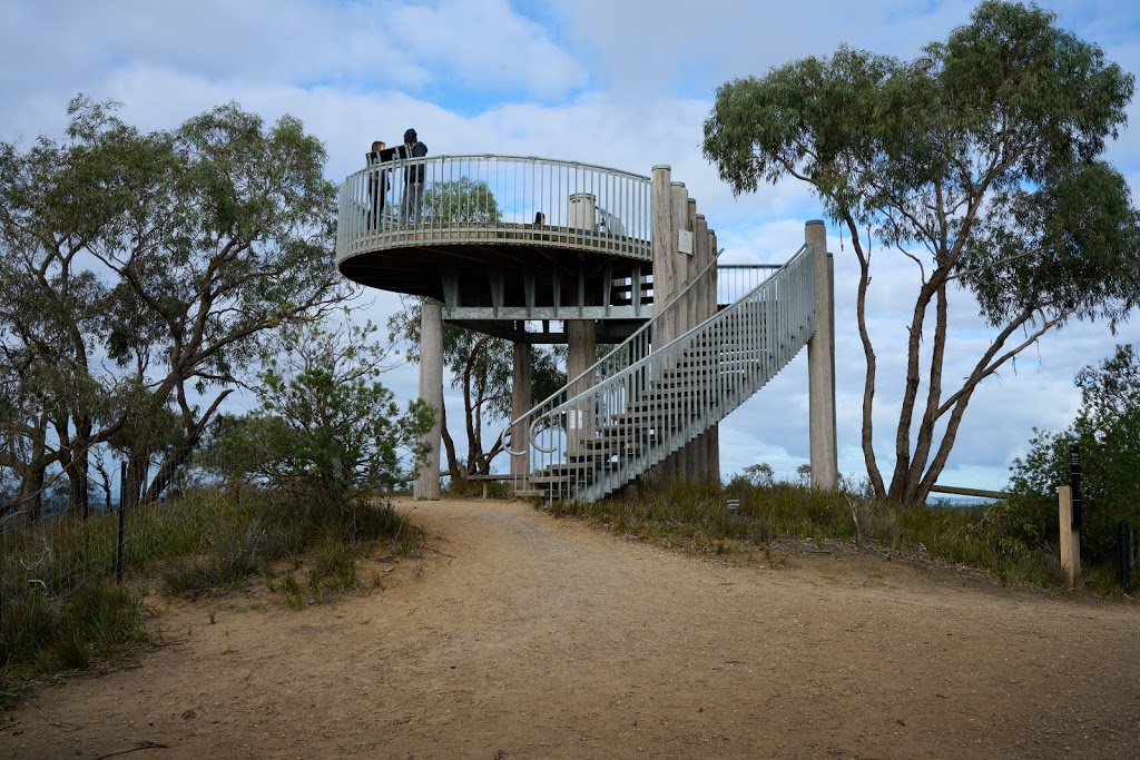
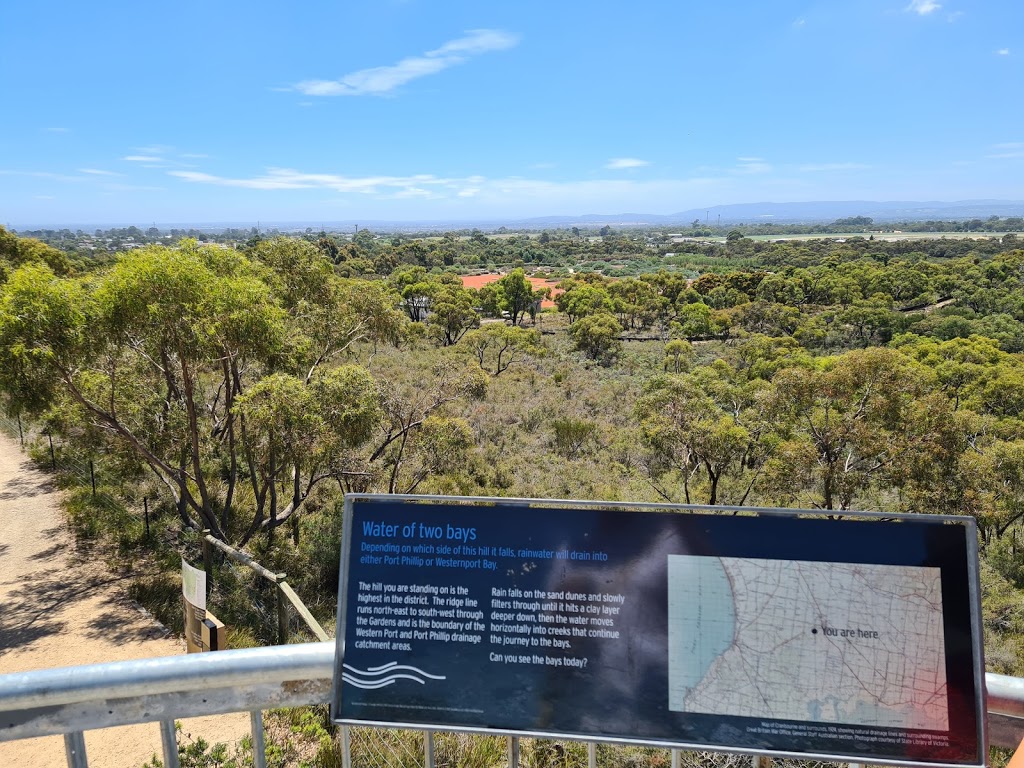
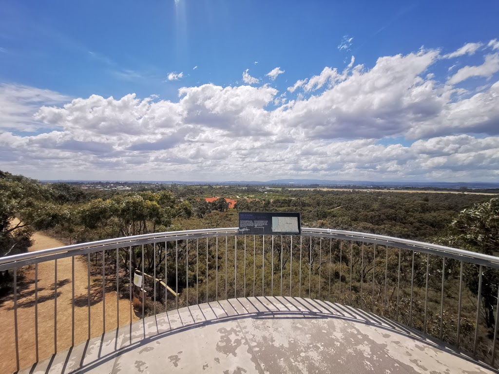
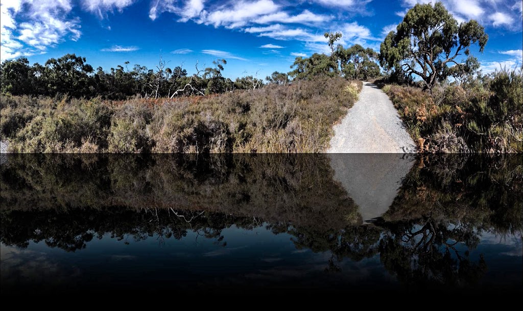
Trig Point Lookout On the Web
Trig Point Lookout Trail (Lysterfield Park, Churchill National Park)
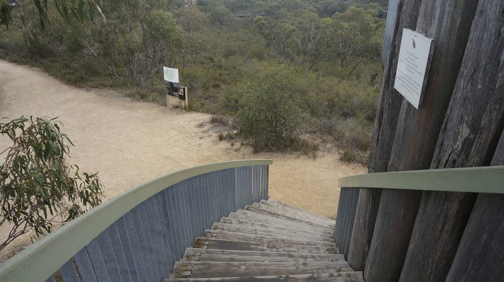
Trig Point Lookout Trail incorporates sections of steep, uneven terrain, but with rewards of spectacular views. Immerse yourself amongst the tall gum trees, native bushland and abundant wildlife to experience the true beauty of Churchill National Park as you hike to the lookout. The return walk or ride from the Churchill Picnic Ground to Trig Point Lookout follows old aqueduct along the ...
Trig Point Lookout - Lysterfield & Churchill National Park Walk Map, VIC
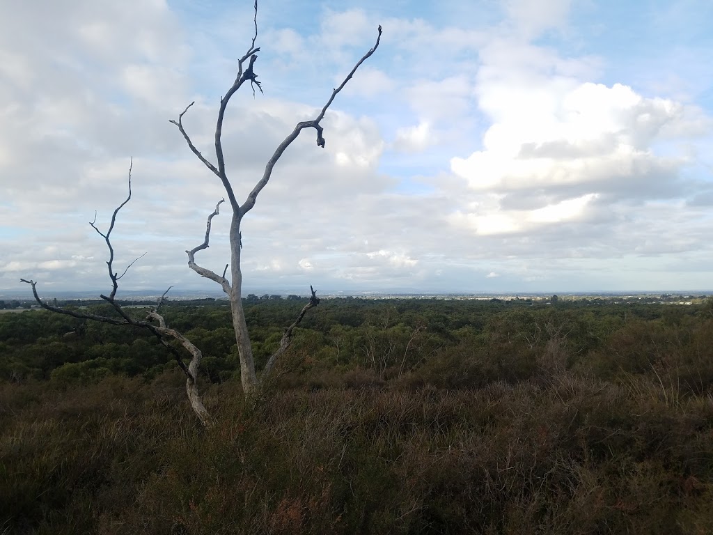
Trig Point Lookout. Trig Point Lookout is located in Lysterfield Park and provides excellent views of the surrounding region including Mount Macedon, You Yangs, Arthur's Seat and Western Port Bay. As the highest point in the park (218 metres), this lookout is a must visit for those wanting panoramic views of the Dandenong Ranges.
Trig Point Lookout - Royal Botanic Gardens Cranbourne ... - Australia247
Trig Point Lookout is located in City of Casey of Victoria state. To communicate or ask something with the place, the Phone number is (03) 9252 2300. To communicate or ask something with the place, the Phone number is (03) 9252 2300.
Blue Rag Trig Point (Lookout) VIC - ExplorOz
Information. The trig point which is 1718m above sea level, provides a 360 degree panorama of the country recently travelled and of Hotham, Feathertop and the Bogong complex. Could be used as a campsite. No level ground! Vary bare & exposed - but fantastic views. No water, No facilities, No shelter, No firewood.
Churchill to Trig Point Lookout, Churchill National Park - Blogger
Churchill to Trig Point Lookout, Churchill Nationa... Goon Goon Dina Walk, Blackdown Tableland National ... Arts Precinct, Melbourne - February 2017; Blowhard Circuit, Lake Eildon National Park - Febr... Rock Pool Walk, Mount Walsh National Park - Januar... Wonthaggi Circuit Walk, Wonthaggi Heathland & Coas...
Johns Hill Reserve Lookout - Trig Point, Picnic Table & Walks Map, Kallista
The lookout sits at about 410 metres above sea level and can be very windy! So make sure to dress warmly in the winter months. There are picnic tables located at the lookout as well as walking trails. The walking track cuts across the Reserve. More importantly, the track is very steep as there is a change of about 200 metres in altitude.
Warrah Trig to Lookout walking track - Wildwalks
Want to go for a walk? Free download maps and tracknotes for the Warrah Trig to Lookout walk. The walk takes about 20 mins (756 m Return), and heads though the delightful Brisbane Water National Park. This walk takes you from the old Warrah Trig Station down the ridge, along a well formed rock path to Warrah Lookout. From the lookout there are fantastic views spanning from the distant ...
Lysterfield Trig Point - Walking Maps
329 Hallam North Rd, Lysterfield South VIC 3156, Australia. by mark7b. Time 1 h 6 m. Length 5.3 km. Difficulty Intermediate. Rating. Directions. Moderate walk to the trig point at the top of Lysterfield Park, with wide views over Melbourne and eastern suburbs. Return via Grassy Spur walk.
Best Lookouts in Central Victoria - Tripod
Trig Point Lookout (Churchill National Park) Mt Wise (Yarra Glen) Plenty River Trail (Viewbank) Wilson Botanic Park (Berwick) Royal Botanic Gardens (Cranbourne) Other excellent Lookouts further away from Melbourne, many of which are walk destinations mentioned in this Guide, include those at . Mt Macedon. Mt. Speed (south of Trafalgar ...