Mikado Park
The coordinates that you can use in navigation applications to get to find Mikado Park quickly are -38.0670296 ,145.6853894
Contact and Address
| Address: | 240 Old Sale Rd, Garfield North VIC 3814, Australia |
|---|---|
| Postal code: | 3814 |
| Phone: | 0400 502 029 |
| Website: | https://mikadopark.com.au/ |
Opening Hours:
| Monday: | Open 24 hours |
|---|---|
| Tuesday: | Open 24 hours |
| Wednesday: | Open 24 hours |
| Thursday: | Open 24 hours |
| Friday: | Open 24 hours |
| Saturday: | Open 24 hours |
| Sunday: | Open 24 hours |
Location & routing
Reviews
There are no reviews yet!
You can review this Business and help others by leaving a comment. If you want to share your thoughts about Mikado Park, use the form below and your opinion, advice or comment will appear in this space.
Photos of Mikado Park

Mikado Park On the Web
About — Mikado Park
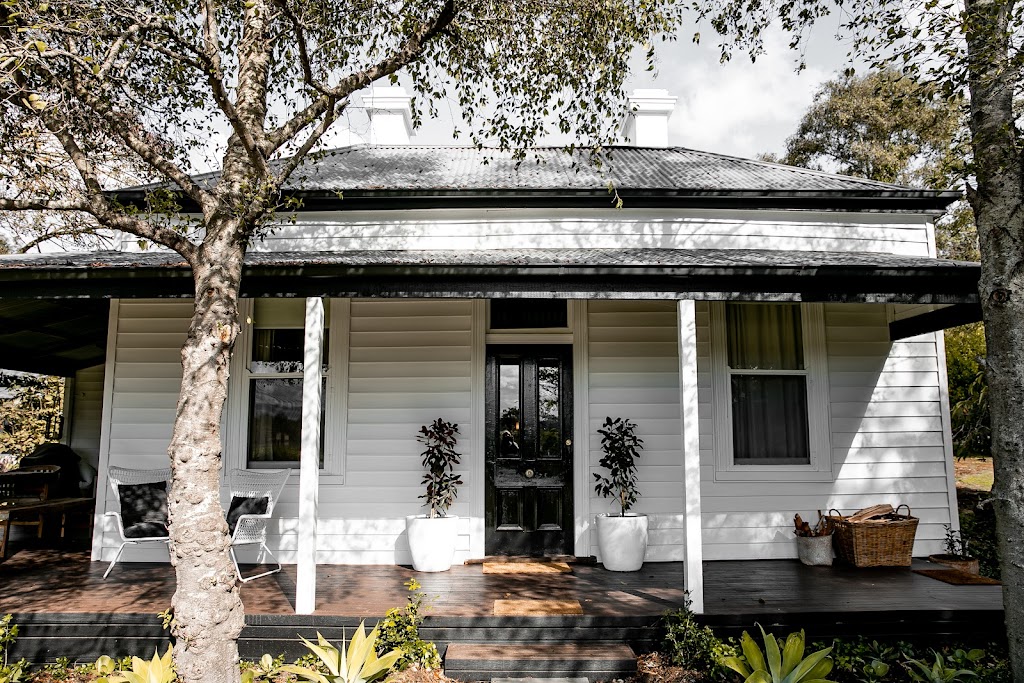
Mikado Park History. Mikado Park is set on Boonwurrung Land (Gippsland Victoria), 68km South East of Melbourne. Established in the 1800s, the property was used as a stopover between 1860-1889 for those travelling by horse and cart from Melbourne CBD to Sale. The homestead was used for guests, featuring a ballroom, guest rooms, and dining area.
Location — Mikado Park
Nearby. Mount Cannibal Hike - 5 minute drive Gumbuya Word - 10 minute drive Trail riding & hiking - 10 minute drive to national parks Cannibal Creek Vineyard - 10 minute drive
Mikado Park Map - New South Wales, Australia - Mapcarta
Sydney Zoo is a zoo in Bungarribee in the Western Sydney Parklands, in Greater Western Sydney, New South Wales, Australia. Sydney Zoo is situated 2½ km southwest of Mikado Park.
Mikado Park | Garfield North VIC - facebook.com
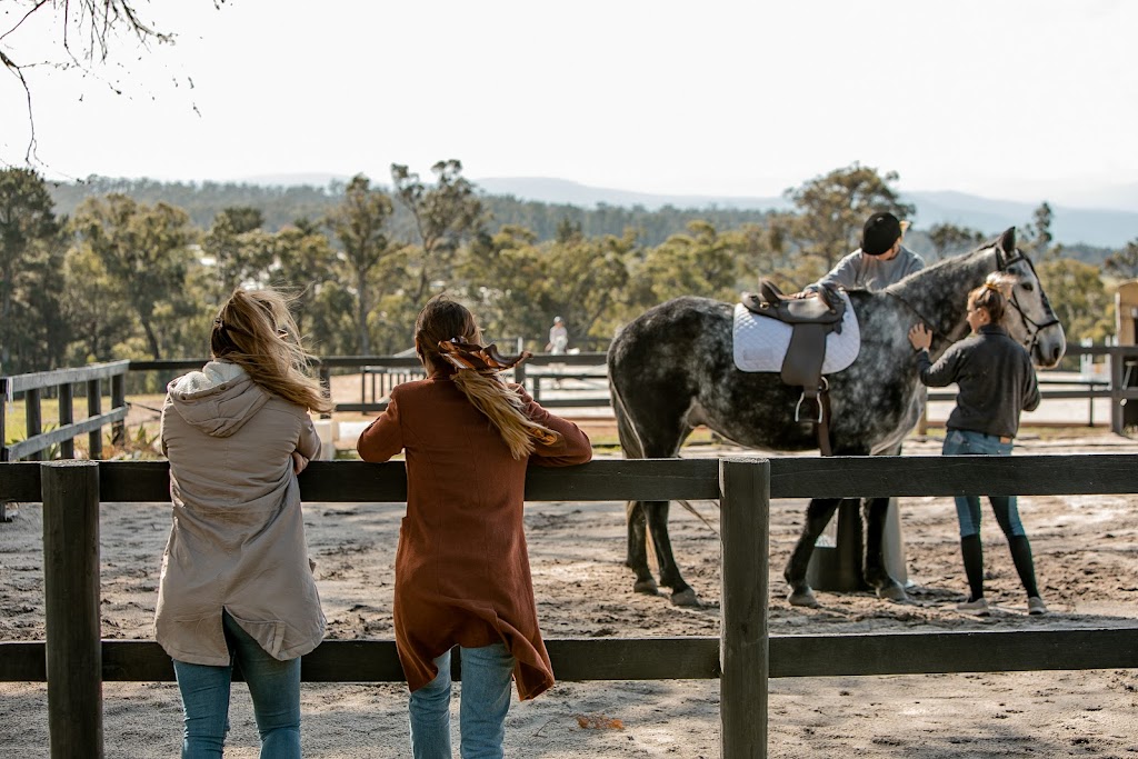
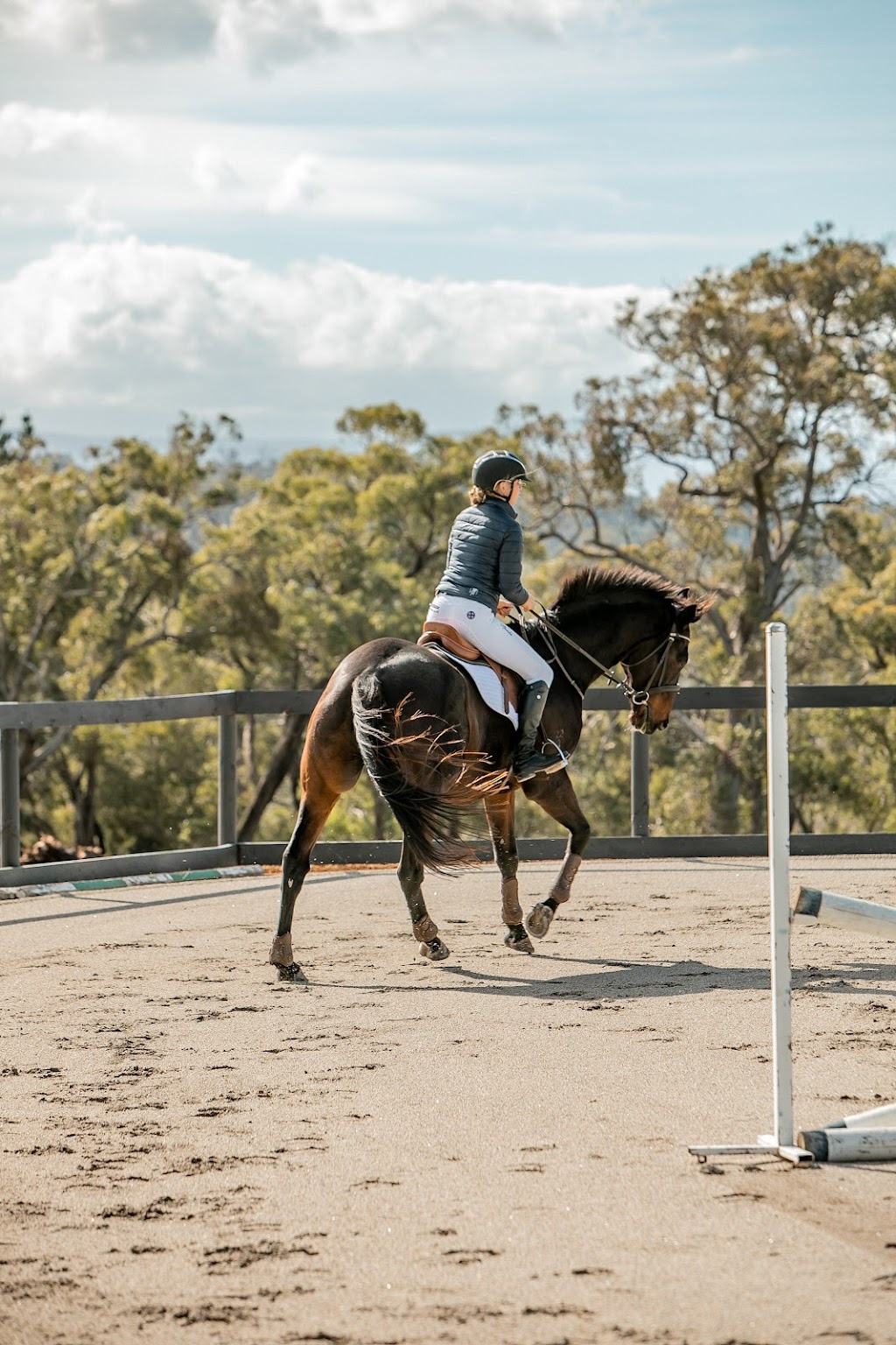
Mikado Park, Garfield North. 735 likes · 1 talking about this · 10 were here. Boutique horse property offering agistment - long and short term. Horse education in jumping and dressage. ...
How to get to Mikado Park in Robina by Bus or Light rail?
Directions to Mikado Park (Robina) with public transport. The following transport lines have routes that pass near Mikado Park Bus: 747, 750, 751, 765; How to get to Mikado Park by Bus? Click on the Bus route to see step by step directions with maps, line arrival times and updated time schedules. From Mariner's Cove Marina, Main Beach ...
Mikado Park, Victoria, Australia - GeoYP.com
Mikado Park is a farm which is located in Victoria nearby to Hamilton Creek, Mount Cannibal and Garfield North.It is also nearby Garfield and Garfield Primary School. The latitude of Mikado Park is -38.06667, and the longitude is 145.68333 with the gps coordinates of 38° 04′ 00.01″ S and 145° 40′ 59.98″ E.. Geographic Information of Mikado Park
Mikado Park (Mikadopark) Map, Weather and Photos - Australia: farm ...
Mikado Park (Mikado Park) is a farm (class S - Spot Feature) in Victoria, Australia (Oceania) with the region font code of Americas/Western Europe. It is located at an elevation of 152 meters above sea level. Its coordinates are 38°4'0" S and 145°40'59" E in DMS (Degrees Minutes Seconds) or -38.0667 and 145.683 (in decimal degrees). Its UTM ...
Mikado Park Map and Distance from Mikado Park
To know more travel information about Mikado Park and Mikado Park road map; kindly see the concern page. Blacktown West Public School 0.6 KM , Tallawong Avenue Public School 0.7 KM , Doonside Public School 1.0 KM , Deborah Wicks Park 1.0 KM , Doonside Railway Station 1.2 KM , Becharry Park 1.5 KM , Weeronga Park 1.5 KM , Tuabilli Park 1.5 KM ...
Boutique 3-Bedroom Homestead at Mikado Park - Airbnb
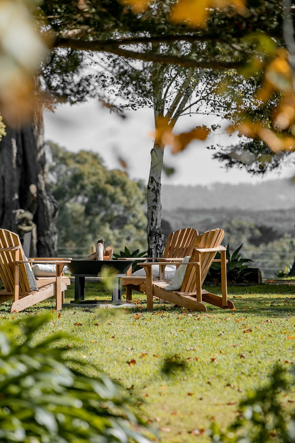
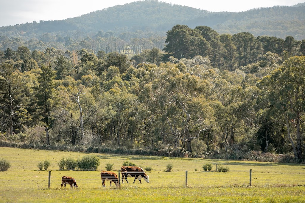
2 Nov 2022 - Farm stay for $400. Relax, unwind and recharge surrounded by Australian landscapes and wildlife. The 1890 boutique historic accommodation is set on 10 hectares, 68km ...