Bald Rock Creek
The coordinates that you can use in navigation applications to get to find Bald Rock Creek quickly are -28.8313682 ,151.9333736
Contact and Address
| Address: | Bald Rock Campground Rd, Girraween QLD 4382, Australia |
|---|---|
| Postal code: | 4382 |
| Phone: | 13 74 68 |
| Website: | https://parks.des.qld.gov.au/parks/girraween/camping.html |
Location & routing
Reviews
There are no reviews yet!
You can review this Business and help others by leaving a comment. If you want to share your thoughts about Bald Rock Creek, use the form below and your opinion, advice or comment will appear in this space.
Photos of Bald Rock Creek
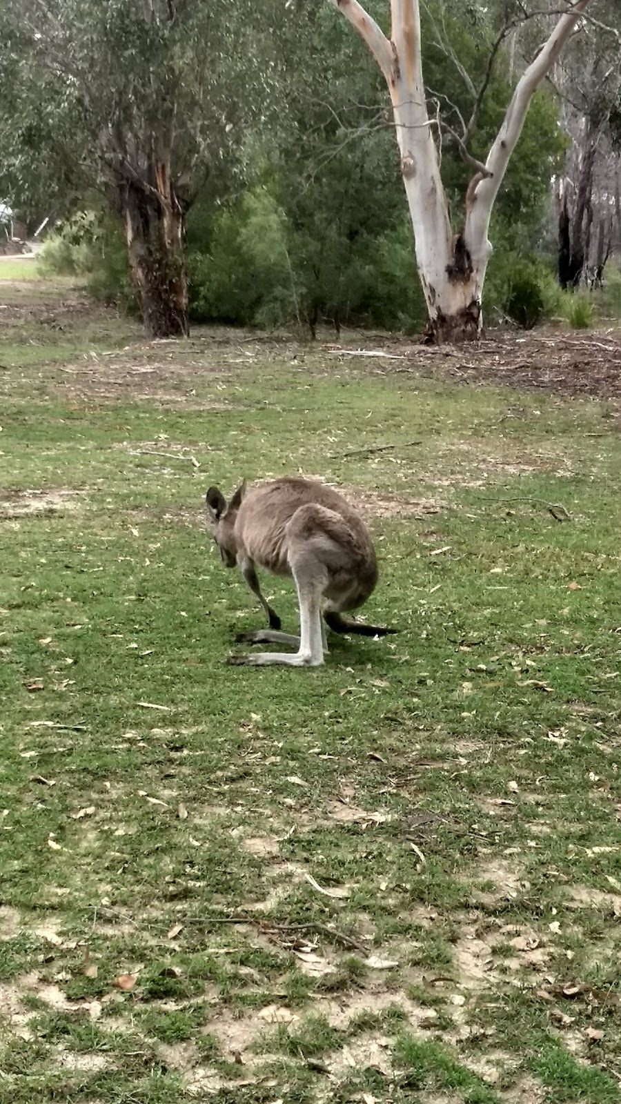
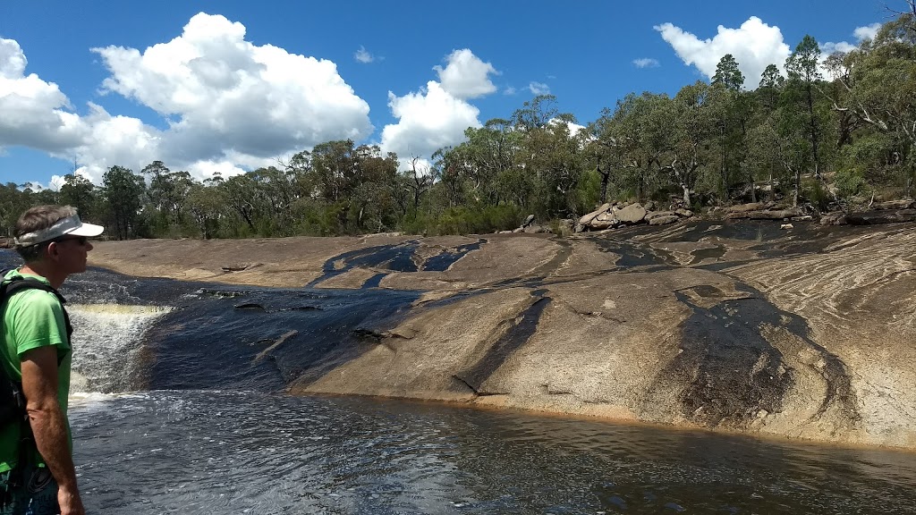
Bald Rock Creek On the Web
Bald Rock Creek - Camping Review - Campsite QLD
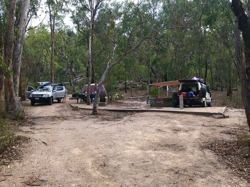
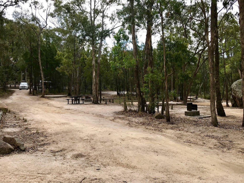
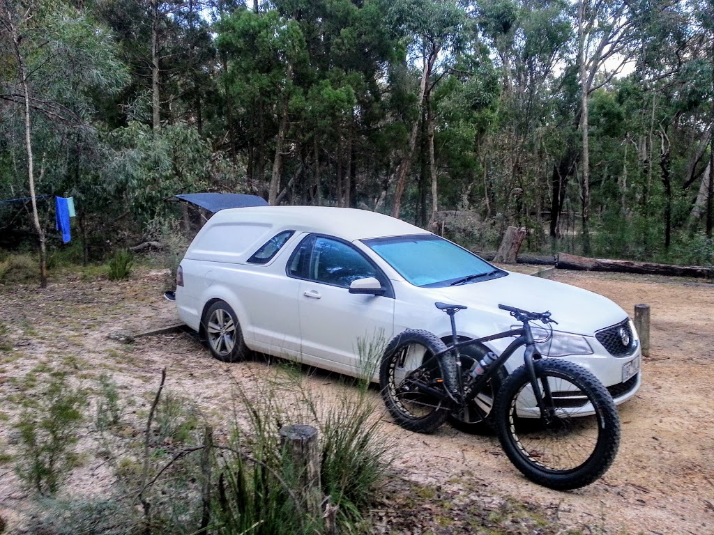
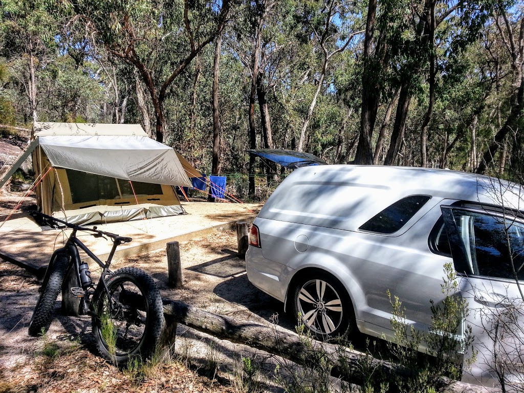
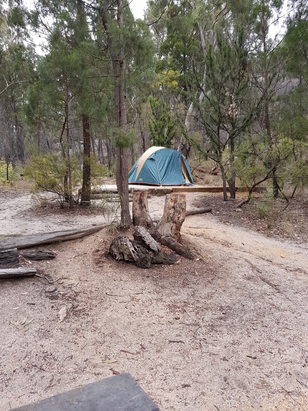
The Bald Rock Creek Camping area is situated close to the QPWS Information Centre and Bald Rock Creek day use area. It is an open forest setting with semi-grassed and semi-shaded areas. The campsites and more individualized and suited to tent camping, although there are 8 designated camper trailer sites.
Bald Rock Creek camping area - OnDECK by DINGA
Get to know Bald Rock Creek camping area and make it your next place to stay. Find out more OnDECK by DINGA now.
Castle Rock and Bald Rock Creek, Girraween, QLD | CaravanCaravan
Castle Rock and Bald Rock Creek camping areas are in a pleasant open forest setting and cater for tent camping as well as caravans, camper trailers and motorhomes. Camping, fishing, fossicking, bushwalking, caravan parks, boat ramps. For nomads in Australia, regardless of hair colour.
Castle Rock & Bald Rock Campgrounds at Girraween
Castle Rock and Bald Rock Creek camping areas are in a pleasant open forest setting close to the QPWS information centre and walking tracks. Both cater for tent camping and camper trailers. Castle Rock camping area is more suitable for caravans and motorhomes.
Bald Rock Creek camping area - Free Range Camping Directory
Bald Rock Creek camping area is situated 120 m west of the QPWS information centre on the northern side of Pyramids Road. Girraween is situated approximately 260 km by road south-west of Brisbane. To reach the park, turn off the New England Highway 26 km south of Stanthorpe or 30 km north of Tenterfield.
Glastonbury Creek Campground, Brooyar State Forest, QLD.
Glastonbury Creek Campground in Brooyar State Forest is about 21 km north-west of Gympie. Turn left into Petersen Road at Bells Bridge and follow the signs to the campground. The entrance road is unsealed with some light corrugations. National Park fees need to be payed online or by phone on 13 74 68 before arrival.
Reedy Waterhole Camping Area, Sundown Qld
Besides this campground, there are four more campgrounds listed in Sundown. There's also one attraction listed in this city in other categories. You will find the exact location of Reedy Waterhole Camping Area on the map above. If you need any other information on Reedy Waterhole Camping Area that is not listed here, please call 13 74 68.
Girraween National Park - Visit Tenterfield
Girraween has 17 km of walking tracks, ranging from a 280 m stroll beside Bald Rock Creek to an 11 km return walk to Mount Norman. Most walks start near the visitor information centre and day-use area—except where indicated. Main tracks are well defined but expect rocky sections and steep upper slopes.
Castle Rock Camping Area - Camping Review - Campsite QLD
There are several swimming holes along Bald Rock creek, two of which are located at the Bald Rock Creek Day Use area (100m from the camping areas) and another which is a short 600m walk from Dr Roberts carpark (approximately 4km from the camping grounds and day use area). Campsites and Access
Granite Belt Nature + Adventure Guide by Granite Belt Wine ...
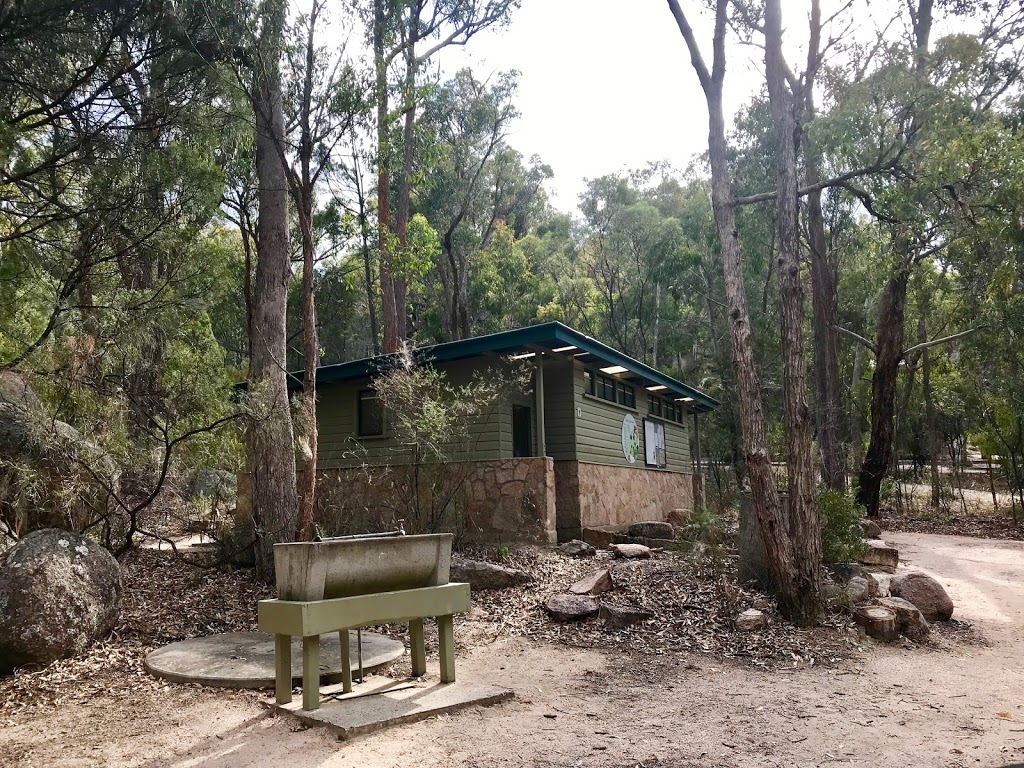
Bald Rock Creek Day-Use Area has bbqs, picnic tables and toilets. There are also disabled facilities in the day-use area, including car parks, toilets and walking tracks. ... 13 QGOV (13 74 68) 10.