Bago State Forest
The coordinates that you can use in navigation applications to get to find Bago State Forest quickly are -35.6566829 ,148.143739
Contact and Address
| Address: | Buddong NSW 2720, Australia |
|---|---|
| Postal code: | 2720 |
| Phone: | (02) 9872 0111 |
| Website: | http://www.forestrycorporation.com.au/visit/forests/bago |
Location & routing
Reviews
There are no reviews yet!
You can review this Business and help others by leaving a comment. If you want to share your thoughts about Bago State Forest, use the form below and your opinion, advice or comment will appear in this space.
Photos of Bago State Forest
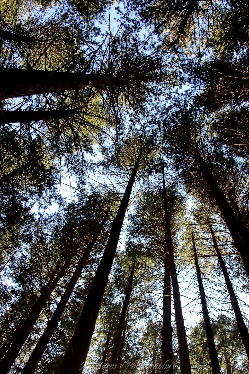
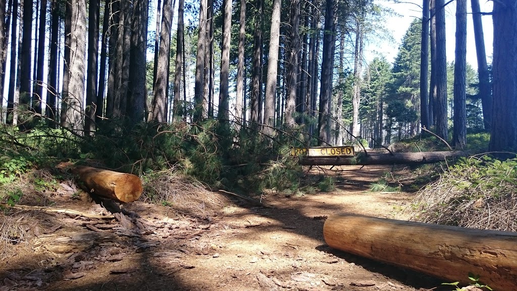
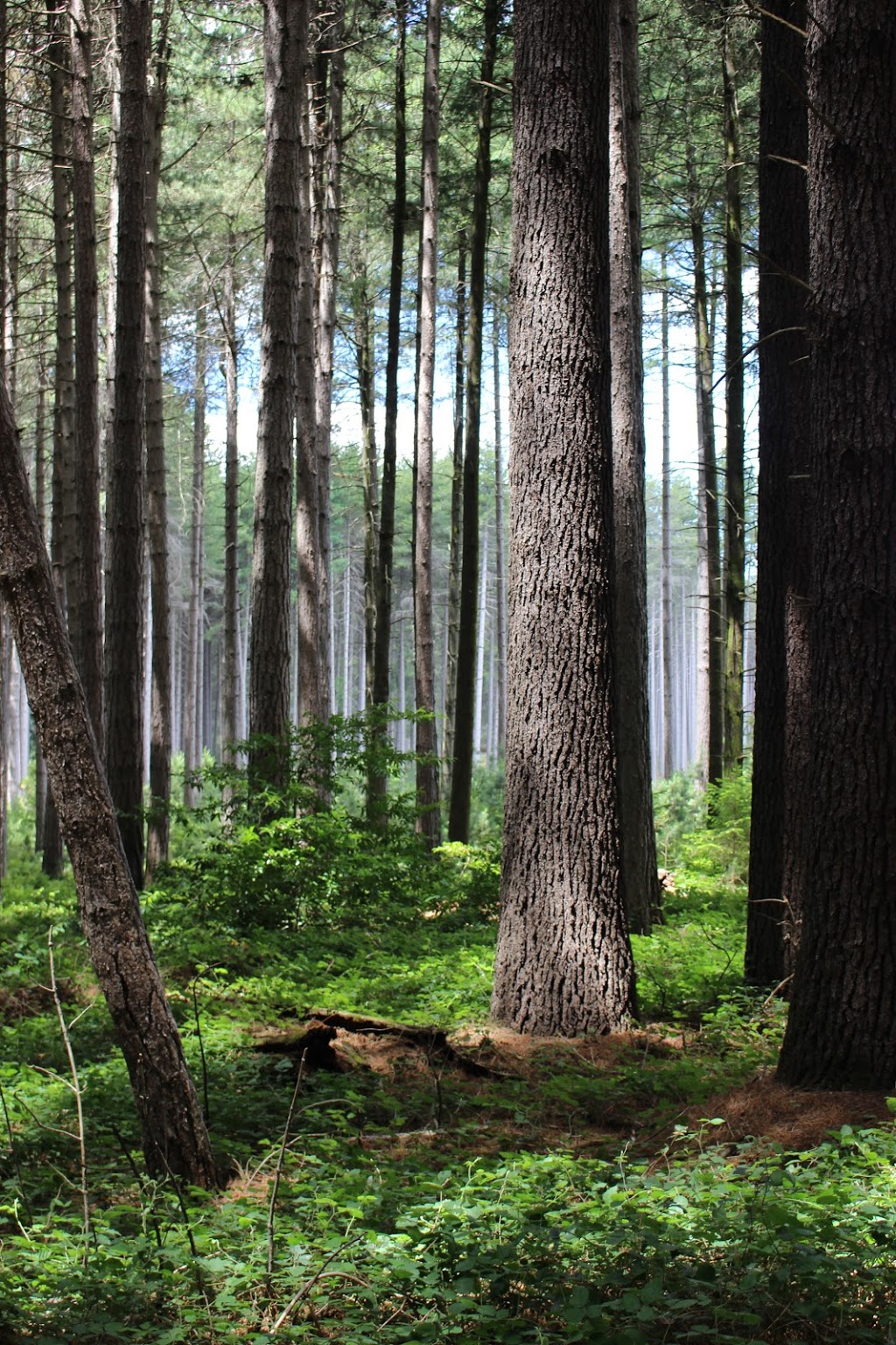
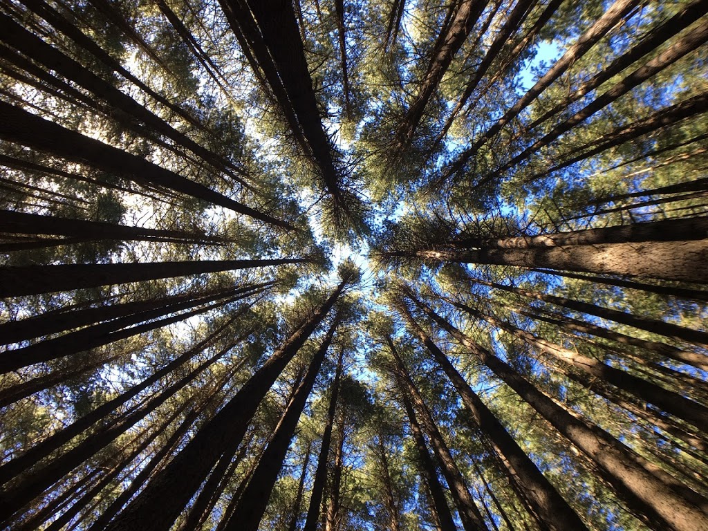
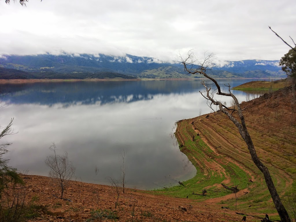
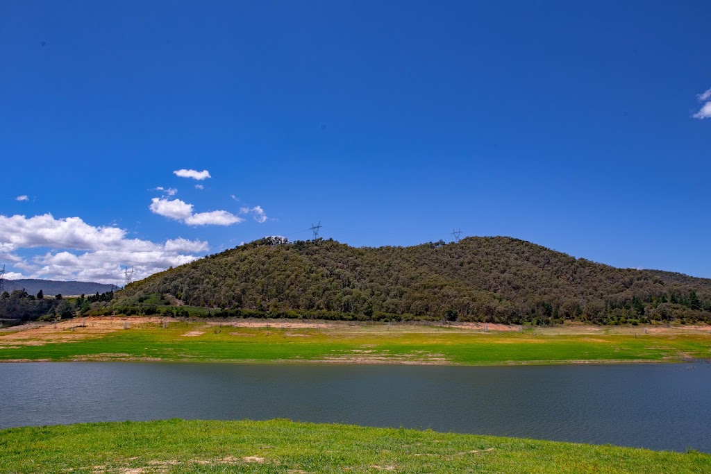
Bago State Forest On the Web
Countryside to Bago State Forest - YouTube
Отмена. Месяц бесплатно. Countryside to Bago State Forest. Ty Patterson. Загрузка...
Bago State Forest Map - New South Wales - Mapcarta
Bago State Forest from Mapcarta, the free map. Bago State Forest. Type: forest reserve. Location: New South Wales, Australia, Oceania. Latitude: 35° 39' 22.6" (35.6563°) south.
Forestry Corporation - Bago State Forest
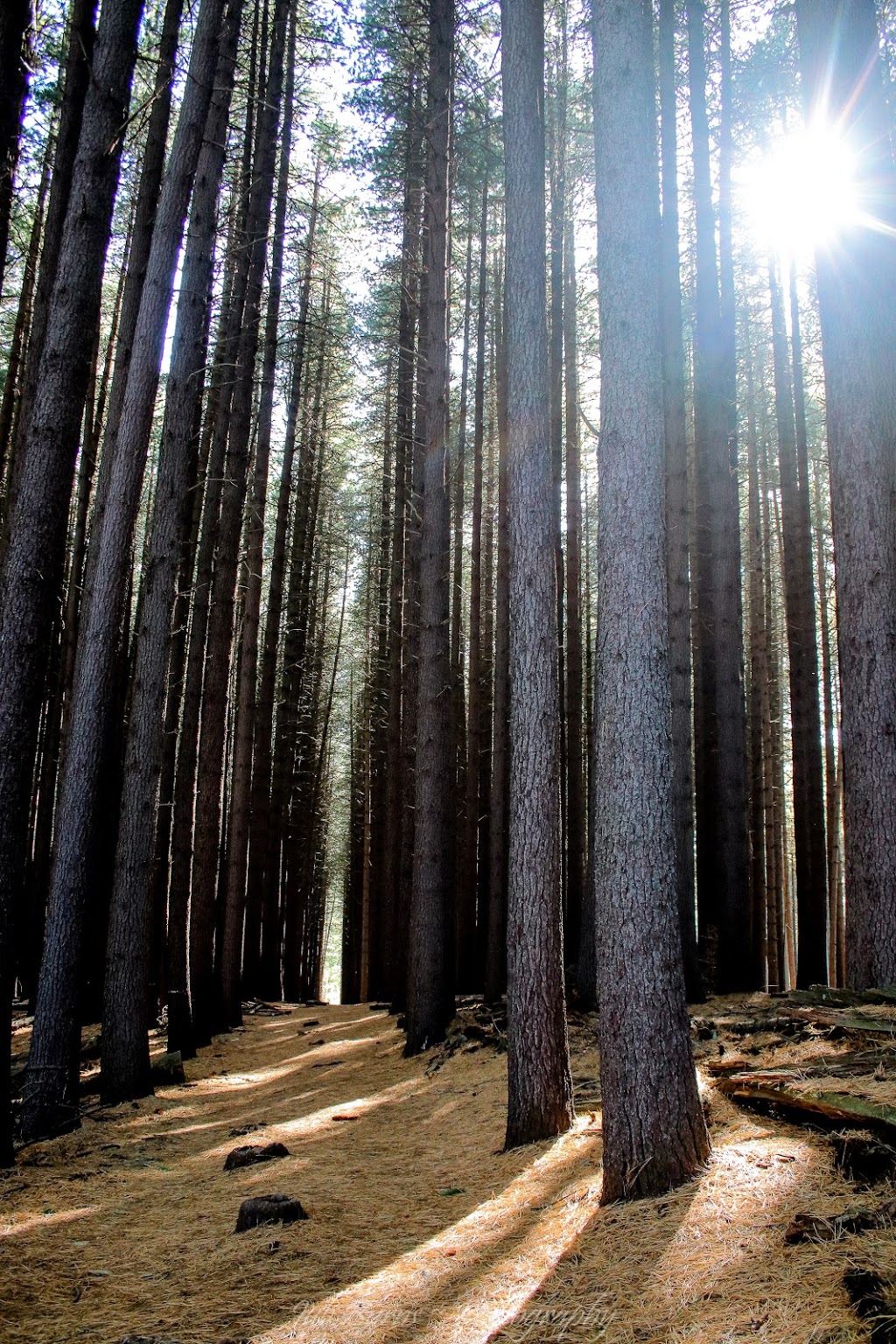
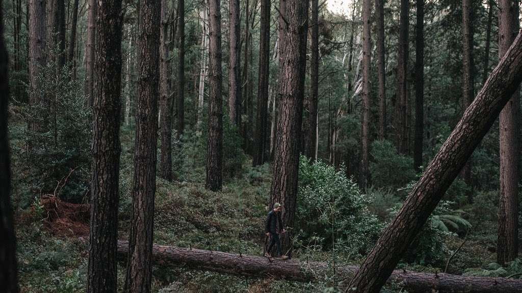
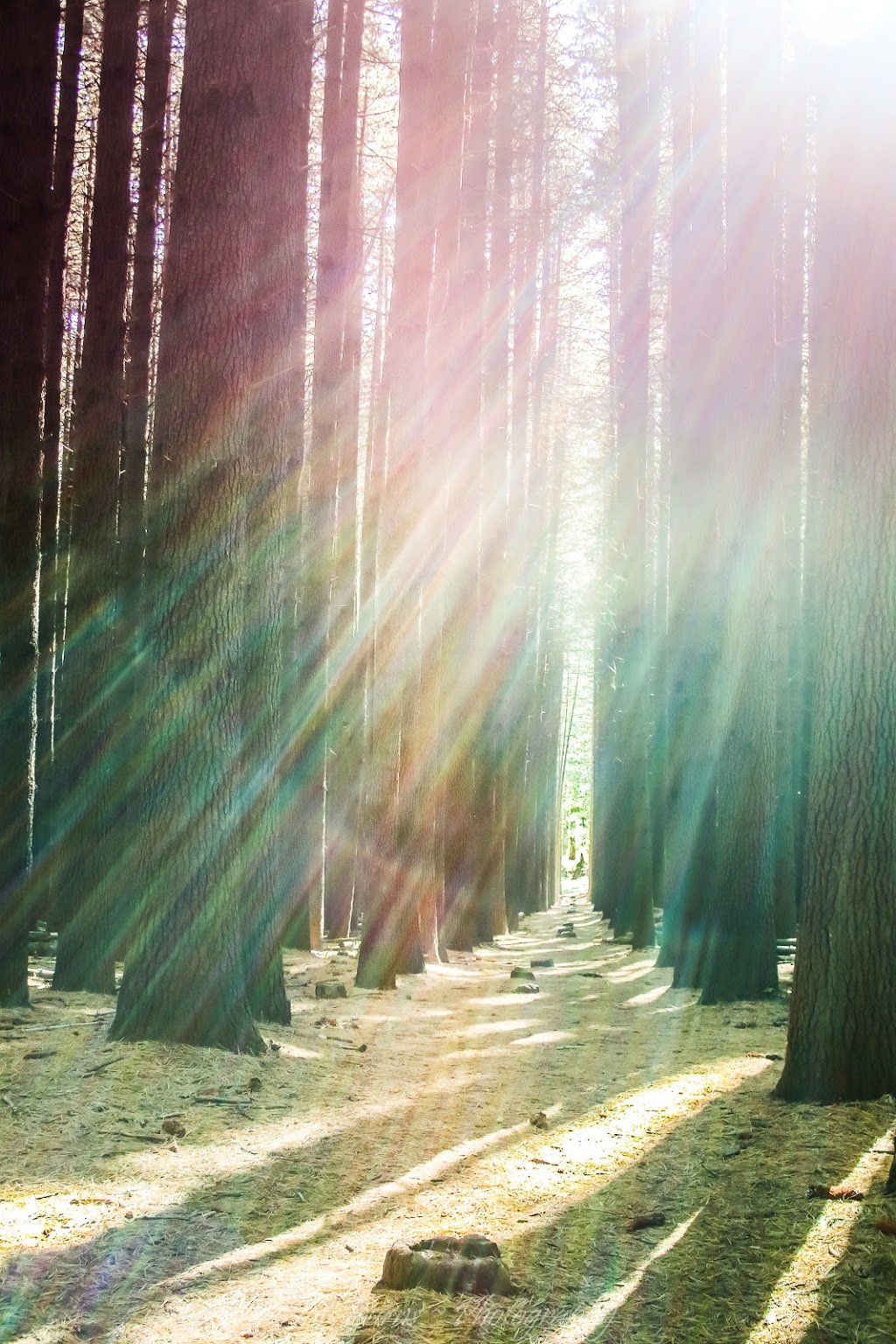
Bago State Forest is incredibly diverse covering the native alpine ash forests of the Bago Plateau, through historic plantation stands dating back to the 1920s and a large area of commercial radiata pine plantations.
Area of Broken Bago State Forest closed for safety reasons
State Forests of NSW has closed part of Broken Bago State Forest adjacent to Kings Creek Road, Wauchope, to ensure the safety of the public during a timber harvesting operation in the area. State Forests Mid North Coast Region acting harvesting forester, Russell Madeley, said the area south of...
Broken Bago State Forest NSW @ BOG Places
Reserves State Forests,Reserves New South Wales Broken Bago State Forest. Closest Climatic Station. Port Macquarie Airport Aws. Distance from Broken Bago State Forest 12.86km E.
Reserves State Forests,Reserves New South Wales Bago State Forest
Reserves - State Forests,Reserves. Location. 96.82kms SouthWest of Canberra - Driving 244 km (3 hours 14 mins) 373.48kms NorthEast of Melbourne - Driving 497 km (5 hours 38 mins) 805.33kms Closest Climatic Station. Tumbarumba Post Office. Distance from Bago State Forest 19.7km SW.
International Mire Conservation Group - Threat
Threatened mire and peatland sites of the world 17. June 2012: Bago State Forest east of Tumbarumba, New South Wales, Australia Lewis Peatlands, Scotland (2007/02/04) U P D A T E
Category:Bago State Forest - Wikimedia Commons
Category:Bago State Forest. From Wikimedia Commons, the free media repository. Jump to navigation Jump to search. CSIRO ScienceImage 4286 Redoxic Hydrosol soil profile at a subalpine site in Bago State Forest southern New South Wales.jpg 1,626 × 1,356; 4.06 MB.
Dormans Point camping area, Bago State Forest - Explore Australia
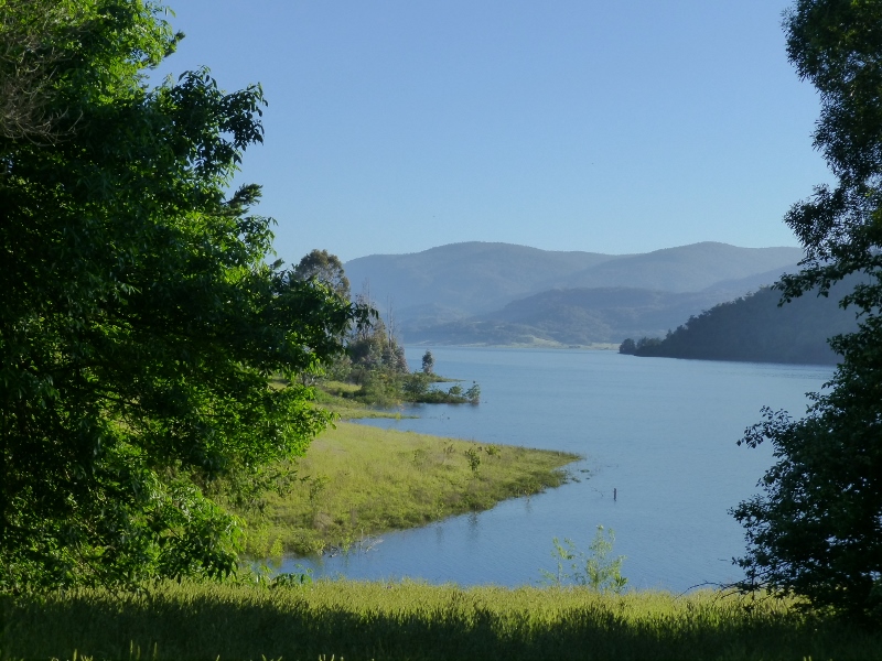
Visitors to Bago State Forest can take their pick of camping spots scattered around the foreshore of Blowering Dam and Jounama Pondage. The forest is 10 km south-east of Batlow; a handful of ways in follow unsealed roads between Batlow and Tumbarumba. Want to see your campsite photos featured...
Bago State Forest | Heewon's Journal
Bago State Forest, Buddong NSW. Sugar Pine Walks, Bago State Forest, NSW. Olympus digital camera. Sturt Highway, Narrandera NSW.