Tomaree Head Summit walk
The coordinates that you can use in navigation applications to get to find Tomaree Head Summit walk quickly are -32.7181884 ,152.1829394
Contact and Address
| Address: | Shoal Bay Rd, Shoal Bay NSW 2315, Australia |
|---|---|
| Postal code: | 2315 |
| Phone: | (02) 4984 8200 |
| Website: | https://www.nationalparks.nsw.gov.au/things-to-do/walking-tracks/tomaree-head-summit-walk |
Opening Hours:
| Monday: | Open 24 hours |
|---|---|
| Tuesday: | Open 24 hours |
| Wednesday: | Open 24 hours |
| Thursday: | Open 24 hours |
| Friday: | Open 24 hours |
| Saturday: | Open 24 hours |
| Sunday: | Open 24 hours |
Location & routing
Reviews
There are no reviews yet!
You can review this Business and help others by leaving a comment. If you want to share your thoughts about Tomaree Head Summit walk, use the form below and your opinion, advice or comment will appear in this space.
Photos of Tomaree Head Summit walk
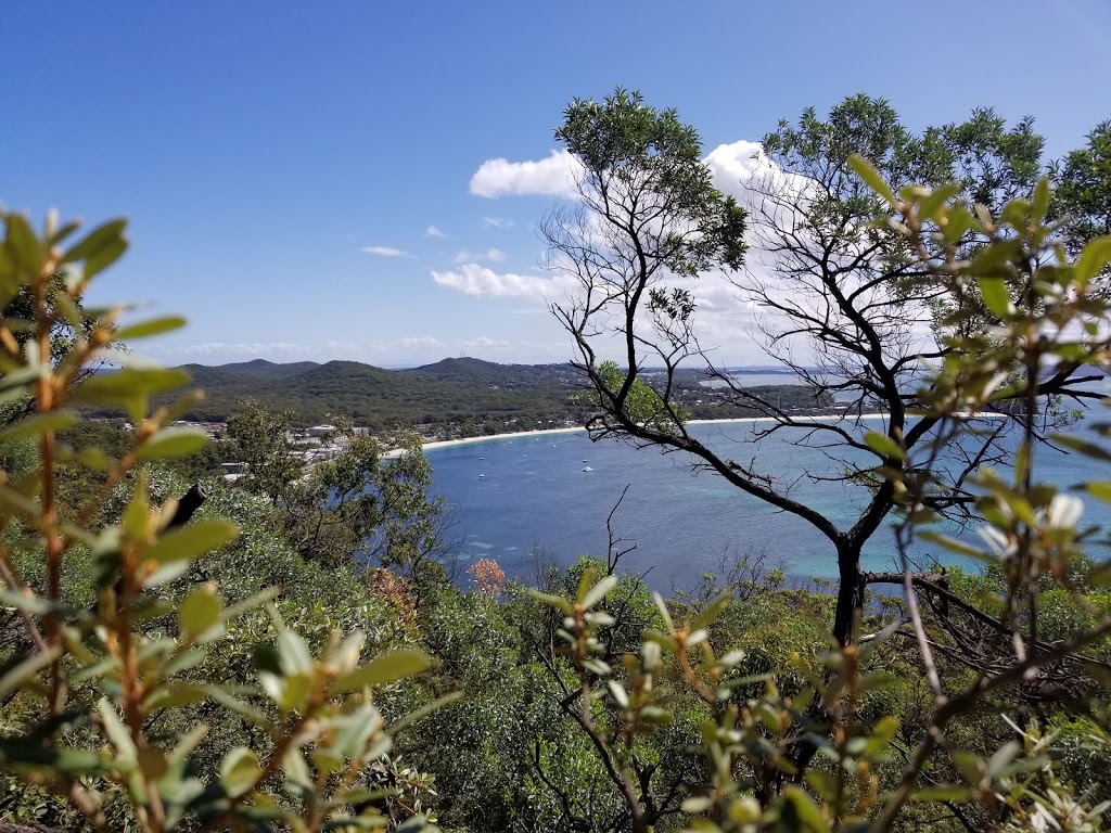
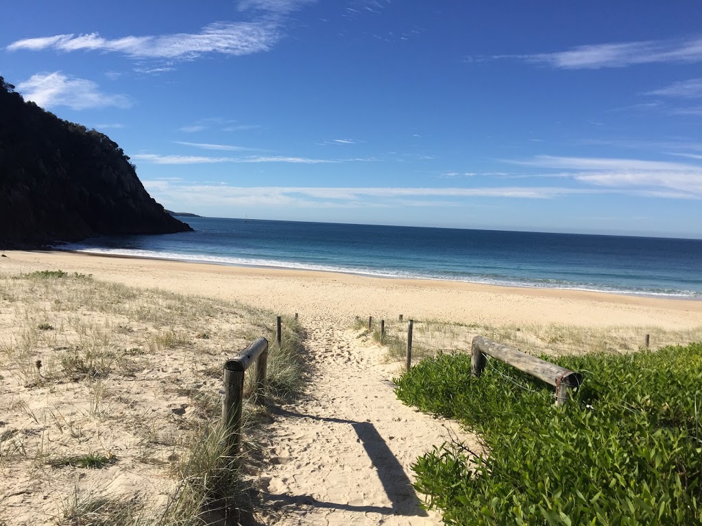
Tomaree Head Summit walk On the Web
Tomaree Head Summit walk | NSW National Parks
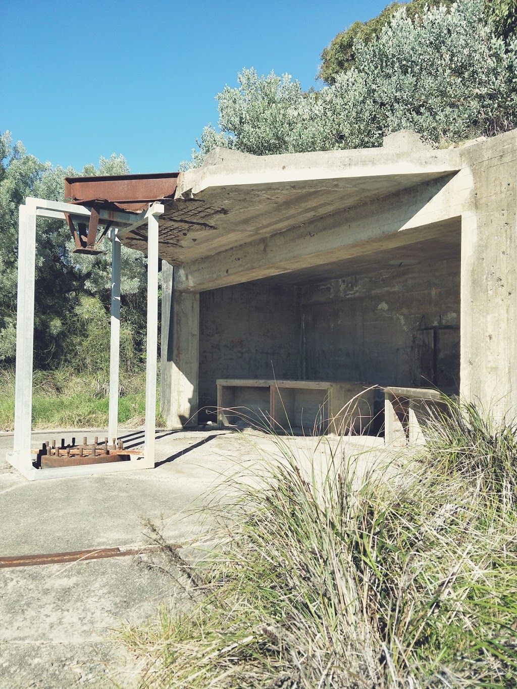
Fort Tomaree walk is an easy walk that runs just below Tomaree Head Summit walk and takes you to the World War II gun emplacements, used in the defence of east coast Australia during World War II. ... 02 4984 8200; npws.huntercoast@environment.nsw.gov.au; Level 1, 12B Teramby Road, Nelson Bay NSW 2315 Park info. in Tomaree National Park in the ...
Tomaree Head Summit Walk - One of NSW's Best Views — Walk My World
Distance: 2.3km (1.1km extra with the side trail to the gun emplacements) Elevation gained: 195m. Difficulty: Moderate. The walk to the summit of Tomaree Head is uphill the whole way, but the trail is well formed throughout (changing from paved with tiles to paved with stones). We recommend allowing 25-30 minutes to hike up to the top and a ...
Tomaree Head Summit walk | Local alerts | NSW National Parks
In Anna Bay between Iris Moore Reserve and Fishermans Bay. At the Middle Rock Headland between One Mile Beach and Samurai Beach. For more information, contact the local NPWS office, Hunter Coast Area, Nelson Bay Office 02 4984 8200. Affects 1 park and 4 locations nearby. Show list.
Tomaree Head Summit walk (2.2km) - Trail Hiking Australia
New South Wales. 2.2km. 1.5 hrs. Grade 5. Return. Tomaree Head Summit walk is a 2.2km, grade 5 hike located in the Tomaree National Park, New South Wales. The hike should take around 1.5 hrs to complete. Length: 2.2km. Duration: 1.5 hrs.
Tomaree Head Summit Walk :: Port Stephens
Tomaree Head Summit Walk. Pretty much every guide to Port Stephens will make mention of the Tomaree Head Summit Hike - and for good reason. Take the invigorating short walk to the summit of Tomaree Head — it should take about 45 minutes to get to the top of the rugged peak positioned 161 metres above the port's entrance to the Tasman Sea.
Tomaree Head Summit Walk - Top 5 Tips to Read Before You Go - WeekendNotes
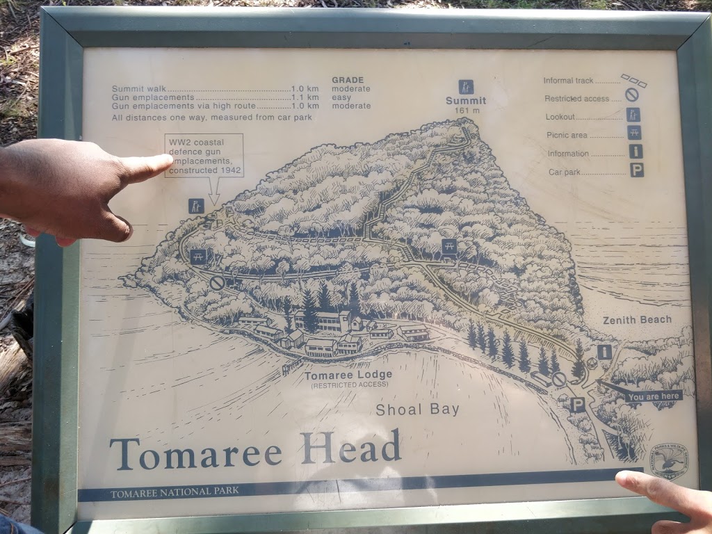
The Tomaree Head Summit Walk is a must-do for locals and tourists, when exploring the scenic Port Stephens region. The entrance to the walk is located at the far end of Shoal Bay, in the Tomaree National Park.It is a steep 1 kilometre walk up to the summit, which is 161 metres above sea level, and then you are rewarded with some of the most spectacular views over the entire region.
Tomaree Head Summit Walk, Port Stephens | Drone & DSLR
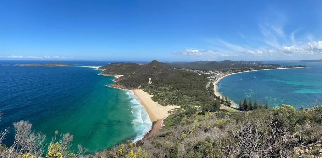
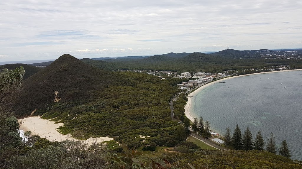
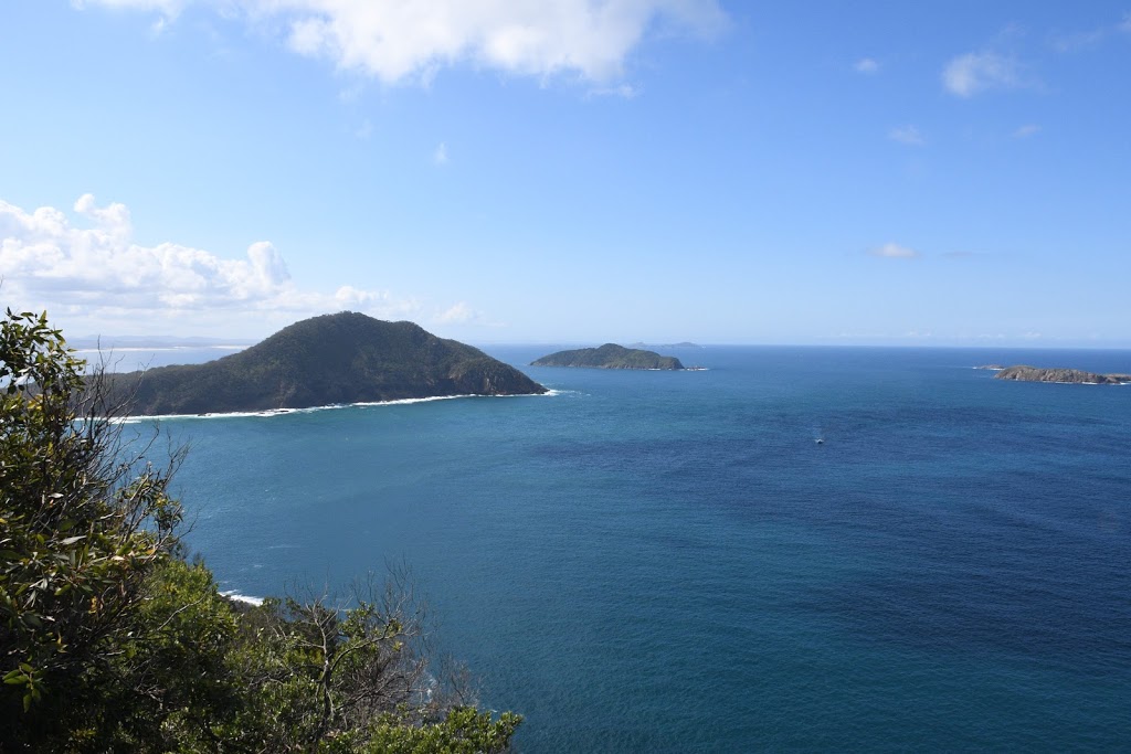
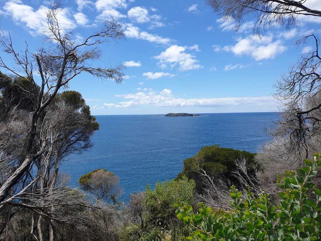
27th December 2019. The Tomaree Head Summit Walk is a short and very scenic hike to the top of Tomaree Mountain in Port Stephens. From the summit, you get incredible panoramic views of Shoal Bay, Zenith Beach, Wreck Beach, Shark Island, and Yacaaba Head. And if lucky, you can even spot whales from the top of Mount Tomaree!
Tomaree Head Summit Walk - Nelson Bay - by Janelle - WeekendNotes
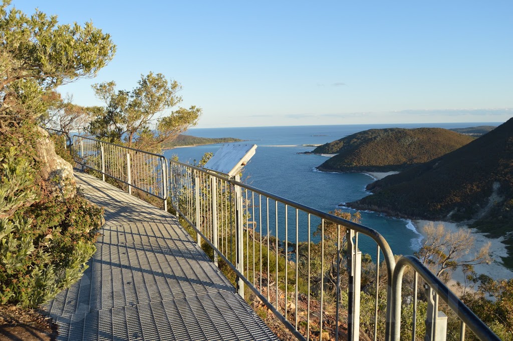
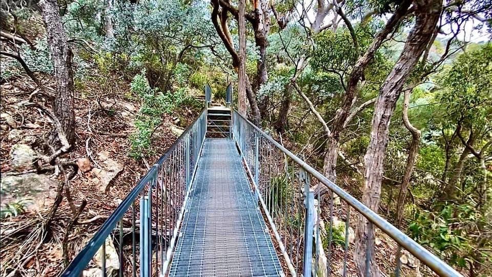
The summit is 161 metres above sea level and is reached by a steep 1km trek upwards on paved pathways and metal walkways with many stairs. It is graded 5 for difficulty but can be accomplished within 90 minutes as long as you take care, especially as the path can be slippery when wet. The walking track is well signposted and maintained by NPWS ...
Tomaree Head Summit walk - google.com
Short, steep hiking trail leading to lookout platforms with expansive bay & island views.
Tomaree Head Summit walk | The summit of Tomaree Head, 161m … | Flickr
Explore Recent Photos; Trending; Events; The Commons; Flickr Galleries; World Map; Camera Finder; Flickr Blog; Prints. Prints & Wall Art